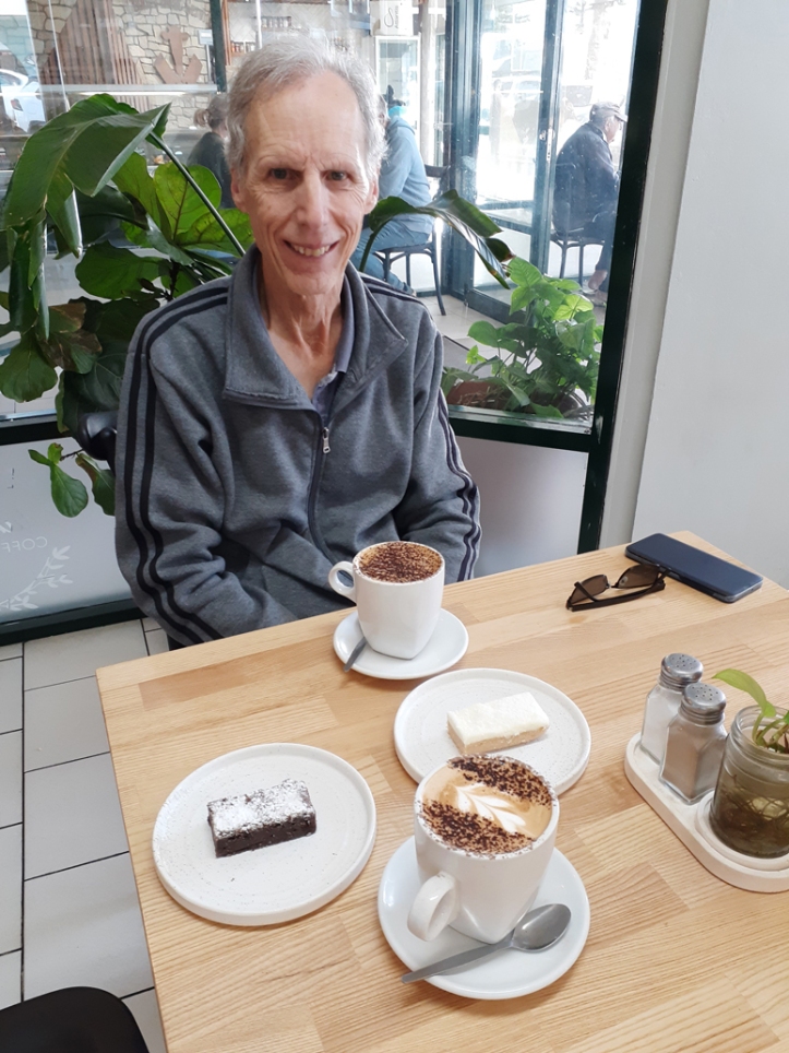
The morning we left Smoky Bay couldn’t have been more different to the previous day; there was no wind at all, giving us an easy drive to Ceduna. We took the opportunity for a last chance coffee at the very popular Ceduna Bakery which was packed with locals and travellers alike. Our first night’s camp was at the 164km peg, just west of Nullarbor Roadhouse.

Along the way we took a break at Yalata and browsed the small store which was selling rather pricey souvenirs – colourful dot paintings and carved wooden implements and ornaments – made by Aborigines from the local community. Rod related the story of his first trip across the Nullarbor with his family in 1969, when the locals stopped cars on the roadside to hawk their wares.

On day two we crossed into WA after going through quarantine on the border. This time we’d used up all our fruit and vegetables and had just a small amount of honey to surrender. We camped near the Eyre Bird Observatory turn-off, just east of Cocklebiddy.
Day three was a longer drive than planned as we pushed on past Norseman to Kambalda. We didn’t have the in-built grey water tank required to camp at the RV park in Norseman and, as luck would have it, heard once we’d passed by that the supermarket was ram-raided overnight and still closed. So after a long and tiring 588km we pulled into Kambalda, which we’d never visited before, and bought enough fresh produce to get us home. Kambalda is an interesting town whose fortunes rise and fall with the price of nickel. It’s divided into two parts, east and west, and we camped in the west amongst the town’s extensive sporting facilities. The shopping centre boasts a Woolworths supermarket, and apart from a real estate agent it’s the only tenant in the rather run-down centre. Across the road is a memorial garden, with stone walls bearing plaques which commemorate the men who died in mining accidents.

We had a much shorter journey the next day and camped amongst mallee trees at the RV park at Merredin, adjacent to Merredin Peak and the old railway dam. The peak, a 40ha granite rock, was used for water catchment from the 1890s. Water was collected from the rock via granite-walled channels to feed the railway dam, and from there it filled the water tower adjacent to the station to supply steam trains. The foundations of the WW2 Army Hospital remain nearby. Water was provided to the hospital from a reservoir on top of the rock, after being channelled into the dam, pumped back up to the reservoir, then piped down to the hospital.


On our final day we encountered many oversize and piloted trucks on Great Eastern Highway, including an 8.5m-wide haul pack. We caught up with it at Meckering but didn’t have to overtake thanks to a couple of well-timed stops along the way.
As always, arriving home creates mixed feelings. Sadly, the holiday has come to an end but nevertheless it’s good to be home. However we enjoyed every moment of it, and despite (or perhaps because of) the bitterly cold nights we mostly had sunny days.
Some statistics from the trip:
Total distance driven: 9,996km (towing 8.477km, non-towing 1,519km)
Cost of fuel (diesel): $2,999.48
Most expensive: 252.0cpl at Eucla (dropped to 244.0cpl on return journey)
Cheapest: 181.9cpl at Mt Gambier
Average consumption: 7.2km/litre (14.1 litres/100km)
Number of nights: 60 – 13 free camps (14 nights), 3 by donation (5 nights), 8 low cost (12 nights), 1 show ground (3 nights), 9 caravan parks (26 nights)
Cost of accommodation: $1,116.24

Thankyou Julie (and Rod) for sharing your journey. As always, a great read.
LikeLike
Thanks Rob. We appreciate your interest in our travels.
LikeLike
Woohoo your home 🤓🤓
LikeLike
Must catch up soon xx
LikeLike